Madhyamaheshwar

Travel & Pilgrimage Guide

========================================================= CHOPTA UTTARAKHAND GUIDE SAME REFERENCE LAYOUT: HERO → QUICK BAR → ABOUT/FACTS → REACH → KNOW/FACILITIES → NEARBY → FAQ/GALLERY → CTA ==========================================================
Chopta meadows and Himalayan views in Rudraprayag, Uttarakhand

Chopta Uttarakhand
Travel Guide

A practical guide to Chopta in Rudraprayag, Uttarakhand, with road access, official altitude notes, Tungnath and Chandrashila trek planning, birding, nearby places and seasonal travel tips.

Location

Rudraprayag, Uttarakhand

Official Altitude

Approx. 2,608–2,900 m

About Chopta, Uttarakhand

Chopta is a scenic Himalayan destination in Rudraprayag district, Uttarakhand, situated on the Gopeshwar–Ukhimath road. The District Rudraprayag describes it as one of the most picturesque places in the Garhwal region and places it about 40 km from Gopeshwar.

Uttarakhand Tourism highlights Chopta for its bugyals, Himalayan views, trekking, camping and bird watching. It is also the main approach area for Tungnath Temple and Chandrashila. Official altitude figures are not identical: Uttarakhand Tourism lists about 2,608 m, while District Rudraprayag lists about 2,900 m, so the elevation is best treated as approximate. For a nearby lake excursion, see our Deoriatal guide.
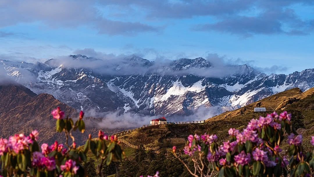
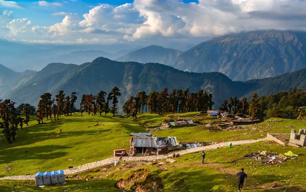
Green meadows, forest and Himalayan peaks around Chopta, Uttarakhand
Chopta is known for high-altitude meadows, forested slopes and wide Himalayan views in the Rudraprayag region.
Maintained by: Madhyamaheshwar.com Editorial Team Last updated: August 12, 2026 Travel note: Check road, snow, rain and trail conditions before departure.

How to Reach Chopta, Uttarakhand

Chopta lies on the Gopeshwar–Ukhimath road and is directly road-connected. District Rudraprayag lists Jolly Grant Airport at about 220 km and Rishikesh railway station at about 200 km from Chopta. Travel time can vary with mountain-road, weather and seasonal conditions.

By Road

Chopta is on the Gopeshwar–Ukhimath road. District Rudraprayag states that it is well connected by road and can be reached by bus, taxi or cab.

View Official Chopta Info →

By Air

Jolly Grant Airport near Dehradun is the nearest major airport. District Rudraprayag gives an approximate road distance of 220 km to Chopta.

By Bus / Local Taxi

Buses, taxis and cabs can be used to reach Chopta by road. Local frequency and final access can vary with season, snow, rain and road conditions.

By Train

Rishikesh is the nearest railway station listed by District Rudraprayag, at an approximate road distance of 200 km from Chopta.

Things to Know Before Visiting Chopta

  • Uttarakhand Tourism describes Chopta as an all-year destination, but road, snow and rain conditions can change what is practical on a given day.

  • Official tourism pages place the Chopta–Tungnath walk at roughly 3 to 3.5 km; Chandrashila is about 1.5 km beyond Tungnath.

  • The Chopta–Tungnath–Chandrashila trail can be snow-covered in winter; Uttarakhand Tourism notes that the winter trail may be completely buried in snow.

  • Chopta is a major bird-watching area. Uttarakhand Tourism notes more than 240 native and migratory bird species in and around the region.

  • Confirm current road access, weather, trail conditions and accommodation before travelling, especially during snow or heavy-rain periods.

Facilities Around Chopta

Stays

Food

Basic Shops

H₂O

Road Access

Local Taxi

Trek Info

Nearby Places from Chopta

Chopta FAQs

View All
Where is Chopta located?

Chopta is in Rudraprayag district, Uttarakhand, on the Gopeshwar–Ukhimath road. District Rudraprayag places it about 40 km from Gopeshwar.

What is the altitude of Chopta?

Official figures vary: Uttarakhand Tourism lists Chopta at about 2,608 m, while District Rudraprayag lists about 2,900 m. Treat the elevation as approximate when planning.

How far is Tungnath from Chopta?

Official Uttarakhand Tourism pages describe the Chopta–Tungnath walk as roughly 3 to 3.5 km, depending on the page and route measurement.

How far is Chandrashila from Chopta?

Chandrashila is about 1.5 km beyond Tungnath. Combined with the Chopta–Tungnath section, the one-way walk is roughly 4.5 to 5 km.

Can Chopta be reached by road?

Yes. District Rudraprayag states that Chopta is road-connected and can be reached by bus, taxi or cab. Check current mountain-road and weather conditions before travel.

Plan Your Chopta Trip

Use Chopta as a base for meadow views, bird watching and the Tungnath–Chandrashila trail. Check road, weather and trail conditions before setting out, especially in snow or heavy rain.

Check Official Chopta Info →