Madhyamaheshwar

Travel & Pilgrimage Guide

========================================================= DEORIATAL GUIDE SAME REFERENCE LAYOUT: HERO → QUICK BAR → ABOUT/FACTS → REACH → KNOW/FACILITIES → NEARBY → FAQ/GALLERY → CTA ==========================================================
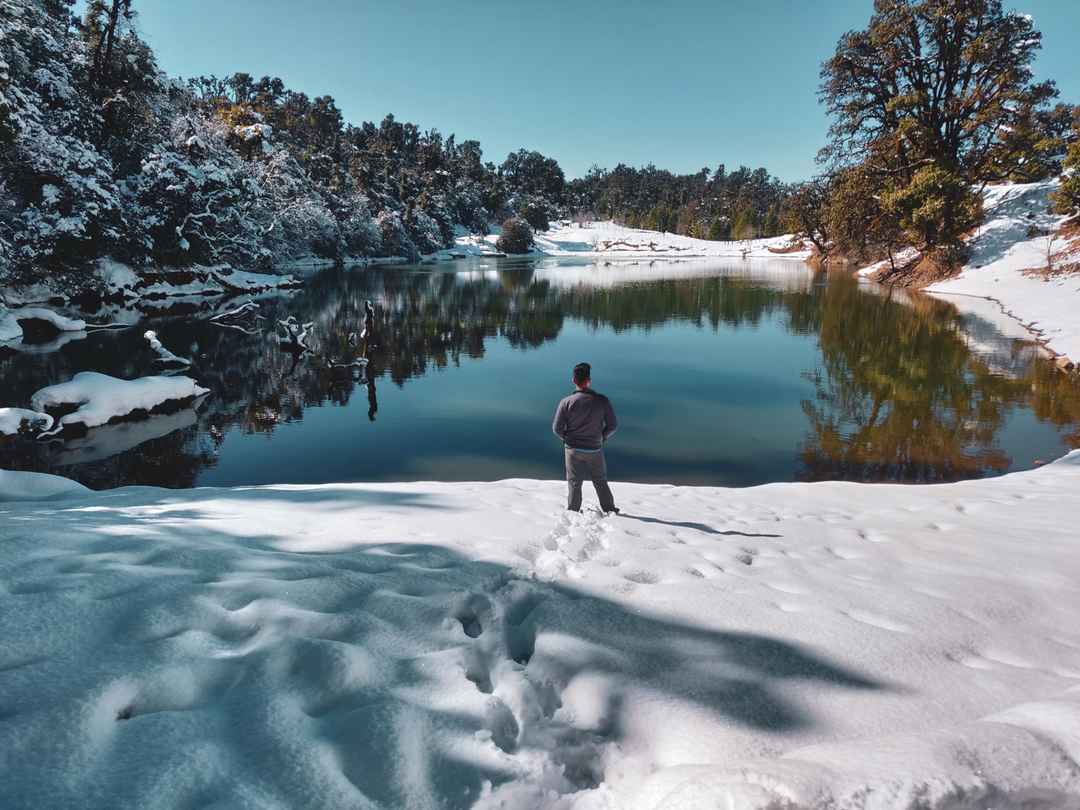
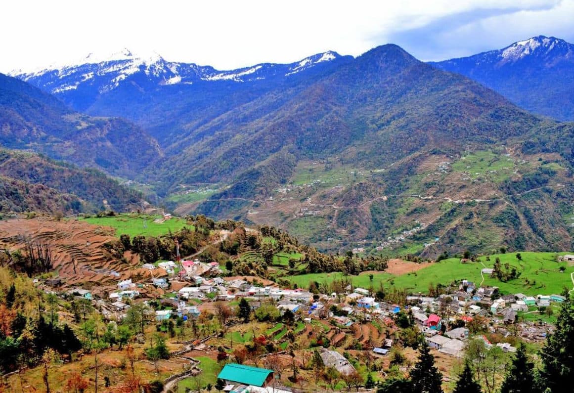
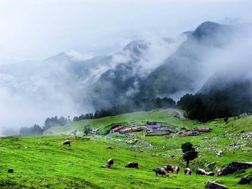
Deoriatal lake with Chaukhamba and Himalayan scenery in Uttarakhand

Deoriatal
Guide

A practical guide to Deoriatal, the scenic high-altitude lake reached by a short trek from Sari village in Rudraprayag, Uttarakhand.

Access

Trek from Sari

Trek Distance

Approx. 3 km

Lake Altitude

Around 2,400 m

About Deoriatal

Deoriatal (also written Deoria Tal) is a scenic high-altitude lake in Rudraprayag district, Uttarakhand. Uttarakhand Tourism includes it in the Deoriatal–Chandrashila trekking circuit and highlights its mountain-and-forest setting.

The standard approach begins at Sari village. Uttarakhand Tourism lists the Sari to Deoriatal trek at about 3 km, usually taking around 1–2 hours. The lake is especially known for views toward the Chaukhamba massif and for its location within the wider Chopta–Tungnath–Chandrashila region.

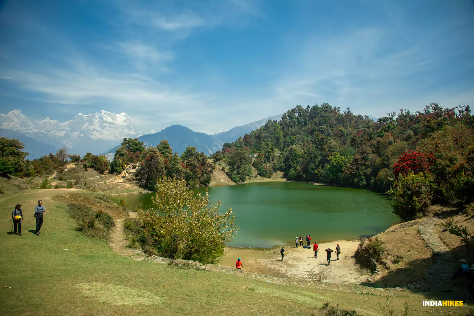
Deoriatal lake surrounded by forest and Himalayan mountains in Uttarakhand
Deoriatal, a high-altitude lake reached from Sari village in Rudraprayag district.
Maintained by: Madhyamaheshwar.com Editorial Team Last updated: August 12, 2026 Travel note: Verify current weather, trail and forest-access conditions before departure.

How to Reach Deoriatal

Deoriatal is reached on foot from Sari village. Uttarakhand Tourism lists the Sari to Deoriatal trek at about 3 km and 1–2 hours. Road and trail conditions can change in the mountains, so confirm current access before travelling.

By Road

Reach Sari village by road through the Rudraprayag–Ukhimath region, then continue on foot to Deoriatal.

View Ukhimath Guide →

By Air

Jolly Grant Airport near Dehradun is the main airport used for this part of Uttarakhand. Continue by road toward Rudraprayag, Ukhimath and Sari before starting the trek.

By Bus / Local Taxi

Public and shared transport can take travellers into the Rudraprayag–Ukhimath region; the final connection to Sari depends on current local services. Deoriatal itself is reached on foot.

By Train

Rishikesh and Haridwar are common rail gateways for Garhwal. Continue by road toward Rudraprayag, Ukhimath and Sari, then trek to Deoriatal.

Things to Know Before Visiting Deoriatal

  • Deoriatal is reached by a short uphill trek from Sari village; Uttarakhand Tourism lists the route at about 3 km.

  • The lake sits in a sensitive Himalayan landscape, so follow local forest, waste and camping rules and avoid leaving litter.

  • Weather can change quickly. Carry suitable footwear, rain protection, warm layers and drinking water for the trek.

  • Mobile connectivity and digital payments can be unreliable in mountain areas, so keep essential offline information and some cash.

  • Check current road, weather, trail and forest-access conditions before departure, especially during monsoon or winter.

Facilities Around Deoriatal

Sari Stays

Local Food

Trek Trail

H₂O

Water

Local Guide

Trek Info

Nearby Places from Deoriatal

Deoriatal FAQs

View All
Where is Deoriatal located?

Deoriatal is a high-altitude lake in Rudraprayag district, Uttarakhand, reached by a trek from Sari village.

How long is the Sari to Deoriatal trek?

Uttarakhand Tourism lists the Sari to Deoriatal trek at about 3 km and 1–2 hours.

What is the altitude of Deoriatal?

Uttarakhand Tourism lists about 2,400 m in its Deoriatal–Chandrashila trek itinerary, while its Chopta destination page gives an approximate elevation of 2,438 m.

Which mountains can be seen from Deoriatal?

Uttarakhand Tourism highlights the view of Chaukhamba from Deoriatal and notes that the wider Deoriatal–Chandrashila route offers views of peaks including Nanda Devi and Trishul.

Can I combine Deoriatal with Chopta, Tungnath and Chandrashila?

Yes. Deoriatal is commonly combined with the Chopta–Tungnath–Chandrashila region as part of a wider trekking itinerary. Check current trail, road and weather conditions before planning the complete circuit.

Plan Your Deoriatal Trek

Start from Sari village, allow time for the 3 km uphill trek, and check current weather, trail and forest-access conditions before heading to Deoriatal.

Check Official Trek Info →