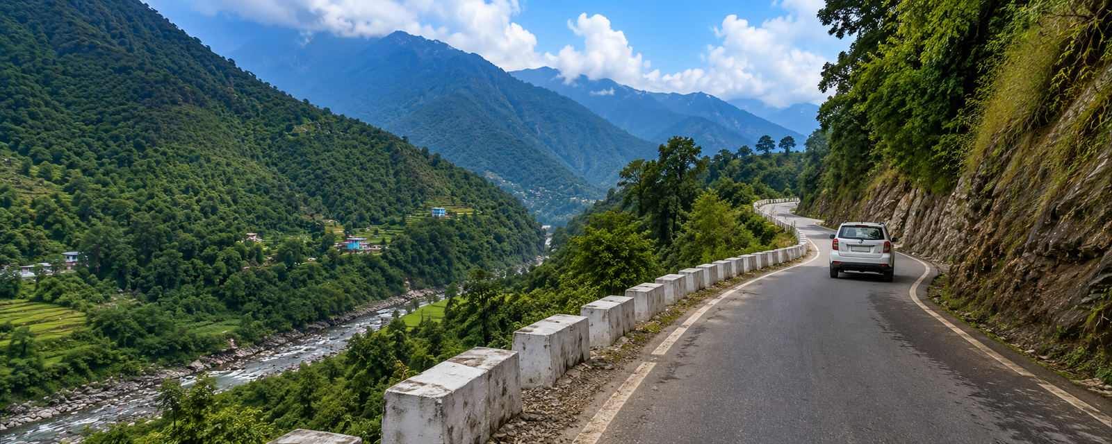
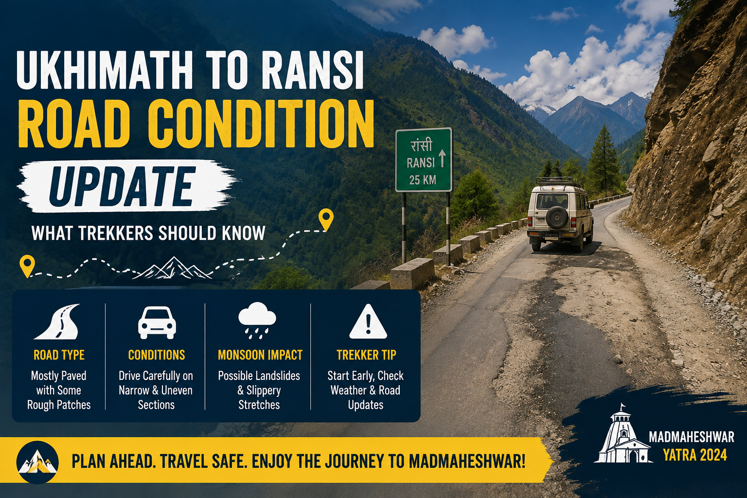
Ukhimath to Ransi Road Condition Update: What Trekkers Should Know
Every Madmaheshwar trek begins with a road journey before a single step is taken on the trail. The stretch from Ukhimath to Ransi is short on paper, but it is a narrow Himalayan mountain road that can behave very differently depending on the week, the rainfall and the season. This Ukhimath to Ransi road condition update covers what is currently affecting travel in the region, how the road typically holds up through the year, and how to confirm the latest status before you set out.
If you are still finalising your itinerary, it helps to read this alongside the Madmaheshwar Trek, which covers the full route, distance and difficulty once you reach Ransi.
Last checked: August 25, 2026. Road conditions in the hills can change within hours during monsoon. Treat the information below as a general guide and always confirm same-day status locally before travelling — see the section on how to check current status further down this page.
Road Status at a Glance
| Distance | Roughly 20–25 km (some route markers list up to 35 km) |
| Drive Time | 45 minutes to approximately 2 hours by jeep or taxi |
| Road Type | Narrow single-and-a-half lane mountain road, several blind curves |
| Monsoon Risk | Moderate to high in July–August; part of a landslide-prone district |
| Best Travel Window | May–June and late September–October |
| Vehicle Type | Shared jeep or hill-experienced private taxi recommended |
Why This Stretch Matters
Ransi Village is the last motorable point on the Madmaheshwar route, and every trekker, porter and supply vehicle relies on this one road to reach it. Once you leave Ukhimath, there is no alternate route, limited mobile connectivity in places, and no fuel or ATM facility until you return. That makes the condition of this specific stretch more important to plan around than trekkers sometimes expect, since a delay here affects the entire itinerary that follows.
Ukhimath itself sits on the well-travelled corridor toward Guptkashi and the Kedarnath route, and doubles as the winter seat where the Madmaheshwar idol is worshipped at the Omkareshwar Temple when the high-altitude shrine is closed.
Current Conditions: Monsoon 2026 Update
As of early August 2026, Rudraprayag district has been under continuous heavy rainfall, and local authorities have flagged rising landslide risk at multiple points, including hillside cracking near Agastyamuni and active danger zones along the district's main highways. The district disaster management office has advised pilgrims and travellers to avoid riverbanks and stay in safe locations during active alerts, and has restricted trekking on certain routes while conditions are assessed.
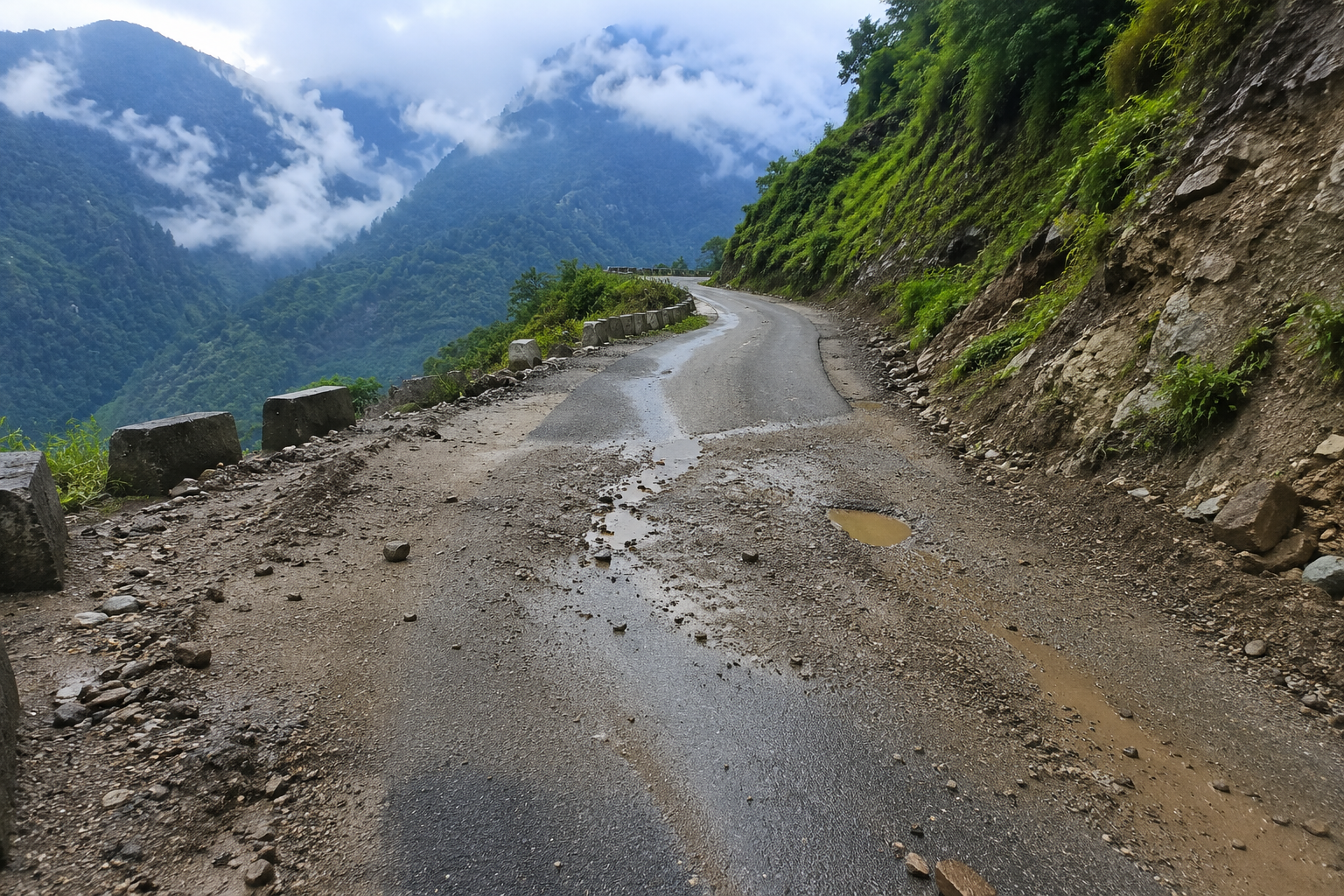
The Ukhimath–Ransi feeder road branches off this same monsoon-affected corridor, so while it may not be named directly in every district advisory, it is realistic to expect the same pattern of intermittent debris, temporary water-logging or short closures on any day of sustained heavy rain. This is a normal feature of Garhwal hill roads during the monsoon rather than a sign that the route is unsafe outside these spells, but it does mean travel plans in July and August should stay flexible.
Road Conditions Through the Year
Conditions on this stretch follow the same broad seasonal pattern as the rest of the Madmaheshwar region, though the road itself reacts faster to rain than the trail does higher up.
- May–June: Generally the most reliable period once the temple season opens. Occasional pre-monsoon showers can cause brief, localised debris but rarely full closures.
- July–August: The highest-risk window. Heavy, sustained rainfall raises the chance of landslides, cracked hillsides and short-notice road blocks across the district, including feeder roads like this one.
- September–October: Conditions typically firm up quickly once the monsoon withdraws, making this the most dependable stretch of the season for a smooth drive.
- November onward: The road stays open longer than the temple season itself, but becomes irrelevant for trekking once Madmaheshwar closes for winter and snow limits access.
For a fuller breakdown of what each month feels like on the trek itself, see the best time to visit Madmaheshwar guide.
What Typically Causes Disruptions on This Stretch
A handful of recurring factors account for most delays between Ukhimath and Ransi. Loose debris and small rockfall after heavy rain are the most common, usually cleared within a few hours by local maintenance crews. Cracked or slipping hillsides above the road are less frequent but more serious, and are the reason district authorities sometimes restrict movement for a day or two until the slope is assessed. Narrow, single-lane sections with blind curves also slow traffic naturally, especially when vehicles need to pass each other or when a shared jeep is waiting for passengers.
How to Check Real-Time Status Before You Travel
Because conditions can shift within a day during monsoon, it is worth confirming status close to your travel date rather than relying only on a written guide. Local taxi unions and homestay owners in Ukhimath drive this road daily and are usually the fastest source of accurate, same-day updates. It also helps to check in with your trek operator a day or two before departure, since operators typically stay in touch with drivers and with the forest department check post at Ransi, where every trekker must register before entering the Kedarnath Wildlife Sanctuary.
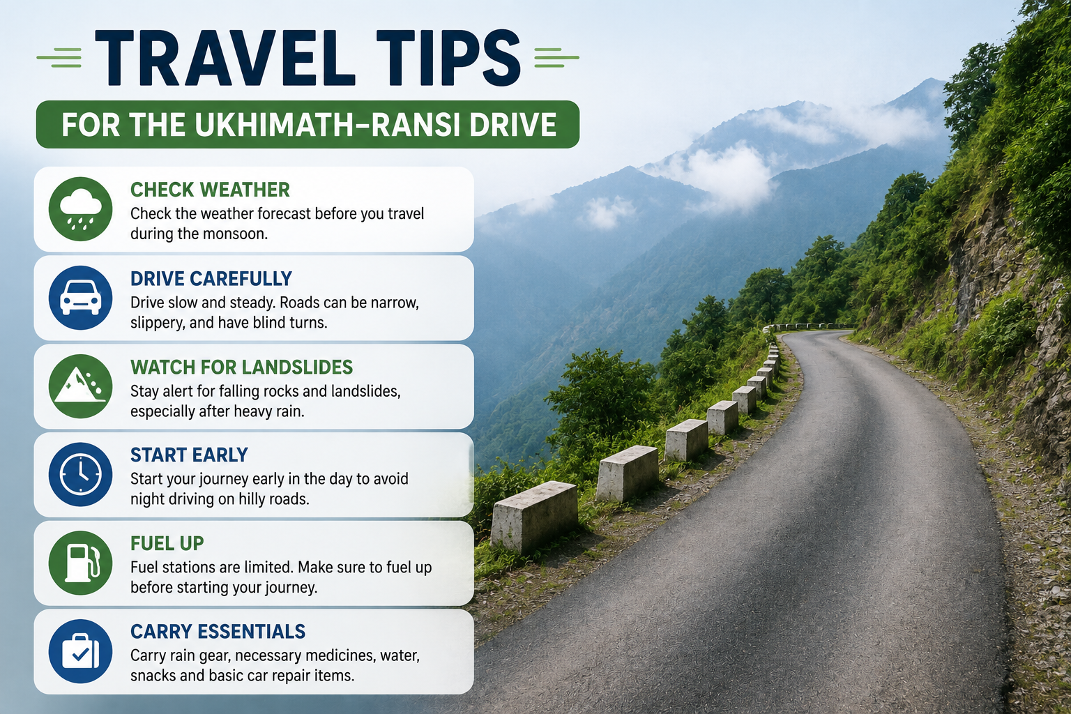
Travel Tips for the Ukhimath–Ransi Drive
- Prefer a shared jeep or a private taxi with a driver experienced on Garhwal mountain roads over a low-clearance vehicle.
- Start the drive early in the day rather than after dark, since visibility on blind curves drops sharply at night.
- Build one buffer day into your itinerary if you are travelling in July or August, in case of a short-notice closure.
- Avoid setting out during an active heavy-rain alert for Rudraprayag district, even if the road appears clear at the time.
- Keep your operator's contact number handy in case plans need to shift at short notice.
What to Carry for This Leg
There is no ATM at Ransi or further along the trail, so withdraw enough cash in Ukhimath before departing. Carry your original government photo ID as well, since it is needed for mandatory registration at the Ransi forest check post. A complete list of what to pack for the trek itself, once you are past Ransi, is covered in the Madmaheshwar trek packing list.
Planning Around the Road, Not Just the Trek
The Ukhimath–Ransi road is short, but it sets the tone for the entire Madmaheshwar journey. Most delays are minor and clear within a few hours, and travellers who check current status before departing rarely run into serious trouble. The main takeaway is to treat this update as a starting point rather than a guarantee, keep a flexible day in your plan during monsoon, and confirm locally before you leave. Once the road conditions are sorted, you can browse the available Madmaheshwar trek packages to plan the rest of your journey.
Frequently Asked Questions
Common questions about the Ukhimath to Ransi road.
1. What is the road condition between Ukhimath and Ransi right now?
The road is generally motorable year-round outside winter closure, but it is a narrow mountain stretch that reacts quickly to heavy rain. During the monsoon months, especially when the wider Rudraprayag district is under a rain alert, short sections can see debris, water-logging or temporary blocks. It is best treated as a route that changes week to week rather than a fixed condition.
2. How long does it take to travel from Ukhimath to Ransi?
The drive typically takes 45 minutes to about 2 hours by shared jeep or private taxi, depending on road conditions, traffic near the checkpost and the time of year. The distance is commonly cited as roughly 20 to 25 kilometres, though some route markers list it closer to 35 kilometres depending on the exact stretch measured.
3. Is the Ukhimath to Ransi road safe during monsoon?
Caution is advised. Rudraprayag district as a whole is prone to landslides during heavy rainfall, and feeder roads off the main Rudraprayag-Guptkashi corridor can be affected even when the highway itself stays open. Trekkers travelling in July and August should build in a buffer day and confirm conditions locally before setting out.
4. What type of vehicle is best for the Ukhimath to Ransi road?
A local shared jeep or a private taxi with a driver experienced on Garhwal mountain roads is the standard choice. The road is narrow with blind curves in places, so vehicles built for hill driving are preferable to low-clearance sedans, particularly after rain.
5. Where can I check the latest road status before travelling?
Local taxi unions and homestay owners in Ukhimath are usually the fastest source of same-day updates, since they drive the route daily. It also helps to check in with your trek operator a day or two before departure, as they typically stay in touch with drivers and the Ransi forest check post.
6. Is there an ATM or fuel station between Ukhimath and Ransi?
No. There is no ATM at Ransi or further along the trail, so cash should be withdrawn in Ukhimath. Fuel and cash arrangements should also be sorted in Ukhimath before heading toward Ransi.