Madhyamaheshwar

Travel & Pilgrimage Guide

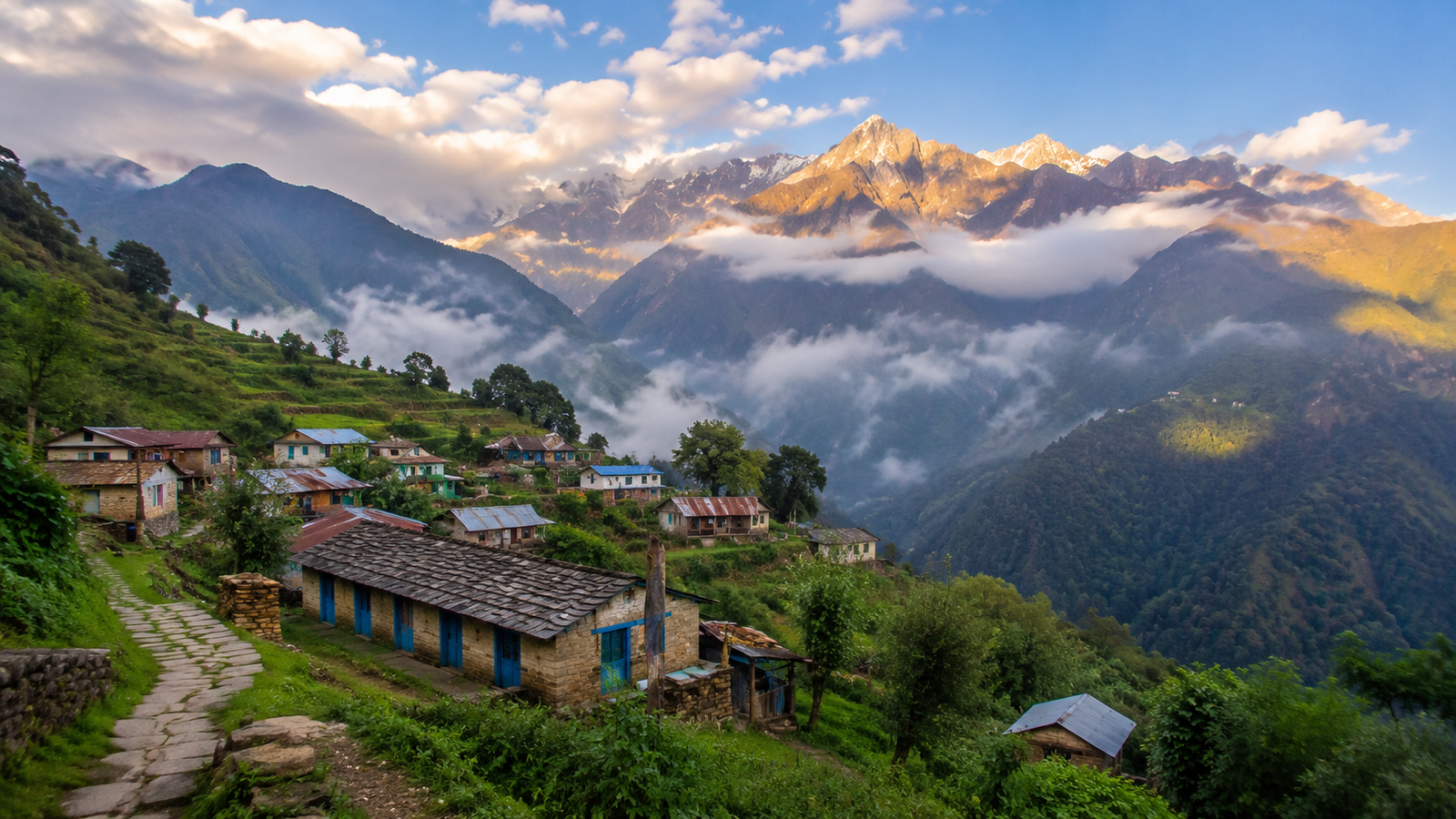
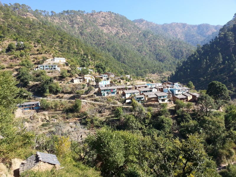
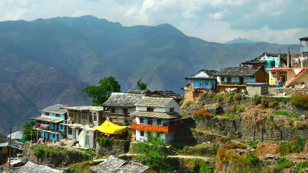
Bantoli Village on the Madhyamaheshwar trekking route in Rudraprayag, Uttarakhand

Bantoli Village
Guide

A practical guide to Bantoli, a riverside trek and camping halt beyond Gaundhar on the Madhyamaheshwar route in Rudraprayag, Uttarakhand.

Access

Trek from Ransi

Route Position

After Gaundhar

About Bantoli Village

Bantoli is a small trekking settlement and camping halt in Rudraprayag district, Uttarakhand, on the route from Gaundhar toward Madhyamaheshwar Temple. It is reached on foot after leaving the Ransi roadhead.

Uttarakhand Tourism specifically identifies Lower Bantoli (Choti Bantoli) and Upper Bantoli (Badi Bantoli) as places where camps can be set up on the Madhyamaheshwar trek. From Bantoli, the trail continues into a noticeably steeper ascent toward Khatara, Nanu and Madhyamaheshwar, so it is a useful place to rest before the climb.
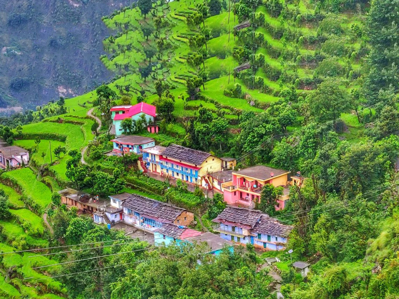
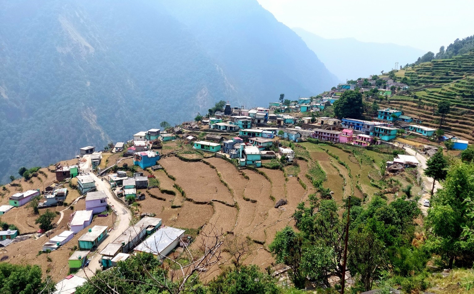
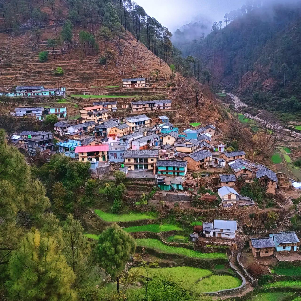
Bantoli on the Madhyamaheshwar trekking route in Rudraprayag, Uttarakhand
Bantoli, a rest and camping halt on the Ransi–Madhyamaheshwar trekking route.
Maintained by: Madhyamaheshwar.com Editorial Team Last updated: August 12, 2026 Travel note: Verify current weather, road and trek conditions before departure.

How to Reach Bantoli Village

Bantoli has no road access. Travelers generally reach Ransi through the Rudraprayag–Ukhimath side and then continue on foot via Gaundhar to Bantoli. Published segment distances vary, so check current road, weather and trail conditions before travel.

By Road

Drive via Rudraprayag and Ukhimath to Ransi, the roadhead for the trek. From Ransi, continue on foot via Gaundhar to reach Bantoli.

View Madhyamaheshwar Route Guide →

By Air

From the Dehradun/Jolly Grant side, continue by road toward Rudraprayag, Ukhimath and Ransi, then trek via Gaundhar to Bantoli.

By Bus / Local Taxi

Shared or private vehicles may operate toward Ransi depending on season and road access. Bantoli itself is reached from Ransi on foot via Gaundhar.

By Train

Rail travelers can continue by road from Rishikesh or Haridwar toward Rudraprayag, Ukhimath and Ransi, then trek via Gaundhar to Bantoli.

Things to Know Before Visiting Bantoli

  • Bantoli is a walking-route settlement after Gaundhar and before the steeper onward ascent toward Khatara, Nanu and Madhyamaheshwar.

  • Uttarakhand Tourism lists Lower and Upper Bantoli as camping points. Seasonal food, shelter or small trail-side services may be available, but confirm before arrival.

  • Carry sufficient cash because ATM and digital-payment availability can be limited.

  • Mobile connectivity can vary in mountain areas and on the trekking route.

  • Confirm weather, road status, trail access and local transport before departure.

Facilities in Bantoli

Stay / Camp

Food

Seasonal Stalls

H₂O

Water

Rest Stop

Trek Info

Nearby Places from Bantoli

Bantoli Village FAQs

View All
Where is Bantoli Village located?

Bantoli lies on the Madhyamaheshwar trekking route in Rudraprayag district, Uttarakhand, after Gaundhar and before the steeper onward climb toward Khatara, Nanu and the temple.

How can I reach Bantoli Village?

Travelers reach Ransi by road through Rudraprayag and Ukhimath, then trek on foot via Gaundhar to Bantoli. Published route distances vary, so check current trail conditions before travel.

Is accommodation available in Bantoli?

Uttarakhand Tourism lists Lower Bantoli (Choti Bantoli) and Upper Bantoli (Badi Bantoli) as camping locations. Any local shelter or food arrangement is seasonal, so confirm before the trek.

Why is Bantoli important for the Madhyamaheshwar trek?

Bantoli is a useful rest or camping halt before the route turns into the steeper ascent toward Khatara, Nanu and Madhyamaheshwar.

Is an ATM available in Bantoli?

Do not rely on finding an ATM at Bantoli. Carry sufficient cash before leaving the road-access settlements and beginning the trek.

Continue Your Madhyamaheshwar Journey from Bantoli

Plan the onward trail from Bantoli toward Khatara, Nanu and Madhyamaheshwar with detailed trek information.

Explore Trek Guide →